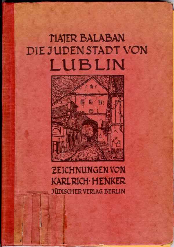
Cover of the 1919 German edition
Illustrations
Cover of the 1919 German edition
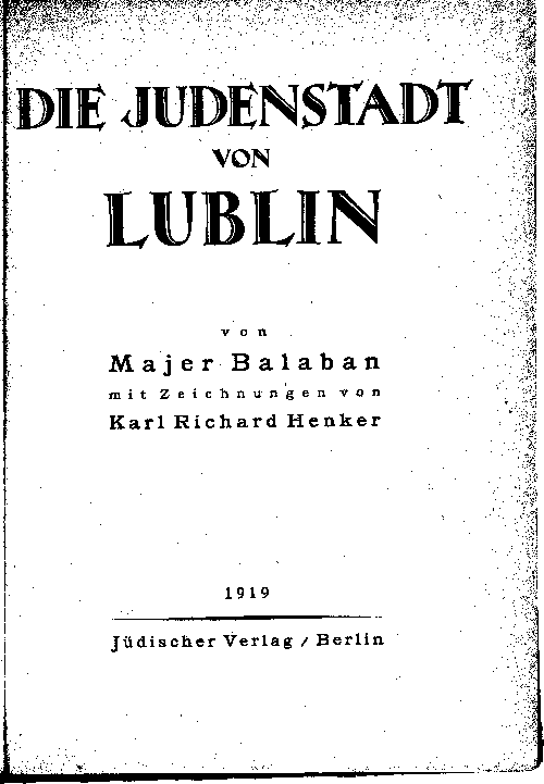
Title page of the 1919 German edition
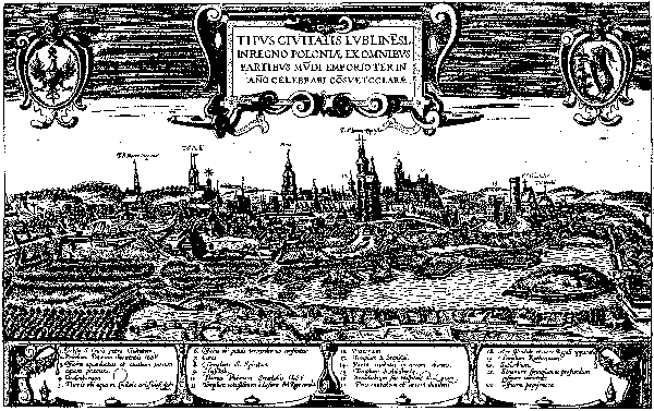
Illustration 1: The City of Lublin from the Braun Atlas, Cologne 1572-1618
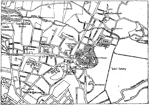
Illustration 2: City map pf Lublin (the old city is shaded)
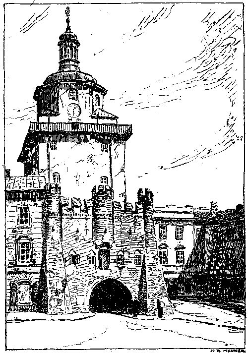
Illustration 3: The Cracow Gate seen from the Cracow suburb
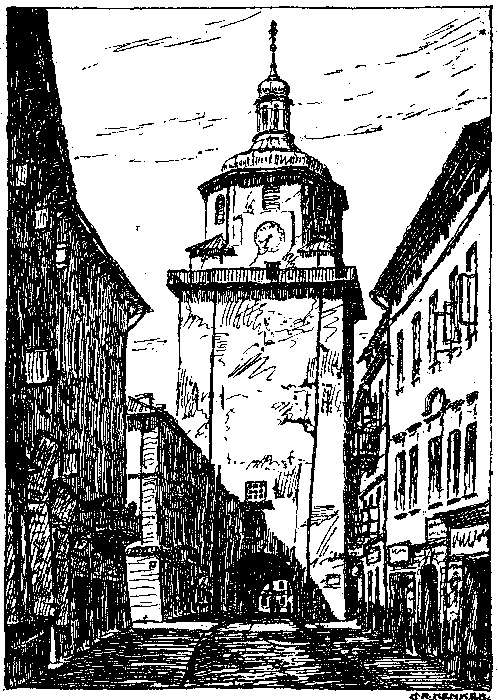
Illustration 4: The Cracow Gate seen from the old city
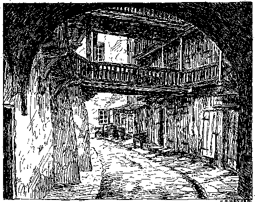
Illustration 5: Courtyard of the Rynek house (16 Markt)
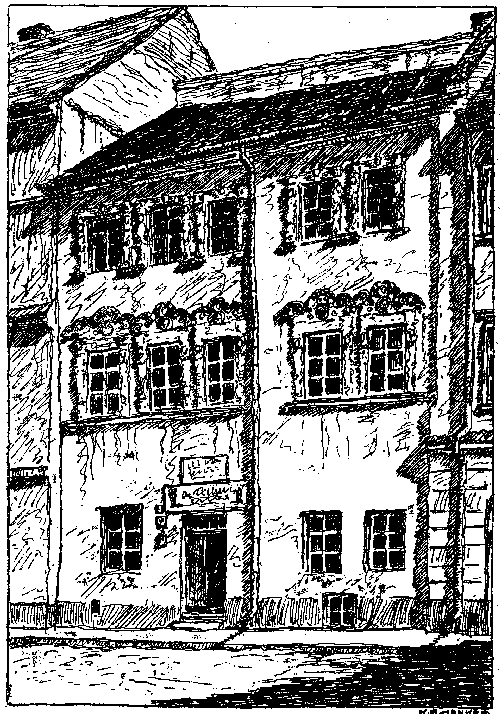
Illustration 6: Family home of Johann Sobieski (15 Marktplatz)
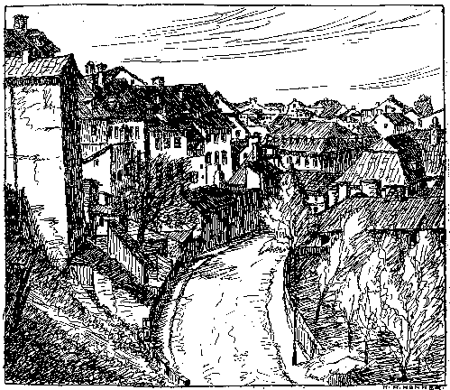
Illustration 7: View of Podwal Street from the upper old city
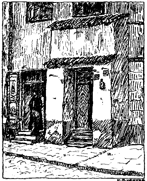
Illustration 8: Door of the house at 6 Rybna Street
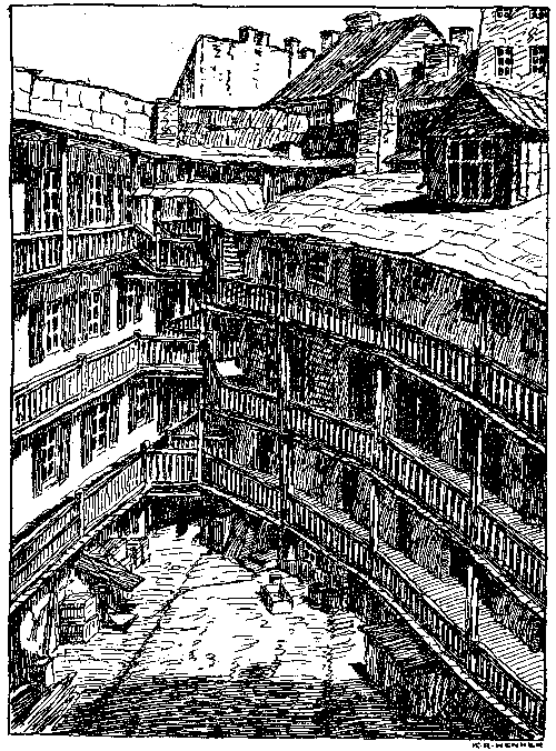
Illustration 9: House at the edge of the old city (5 Kowalska, at Rybna)
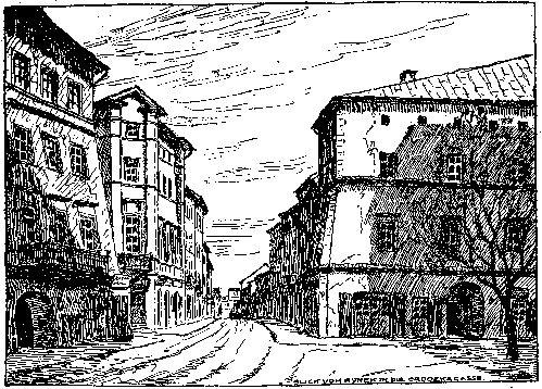
Illustration 10: View from Rynek on Grodzka Street to the Jewish Gate
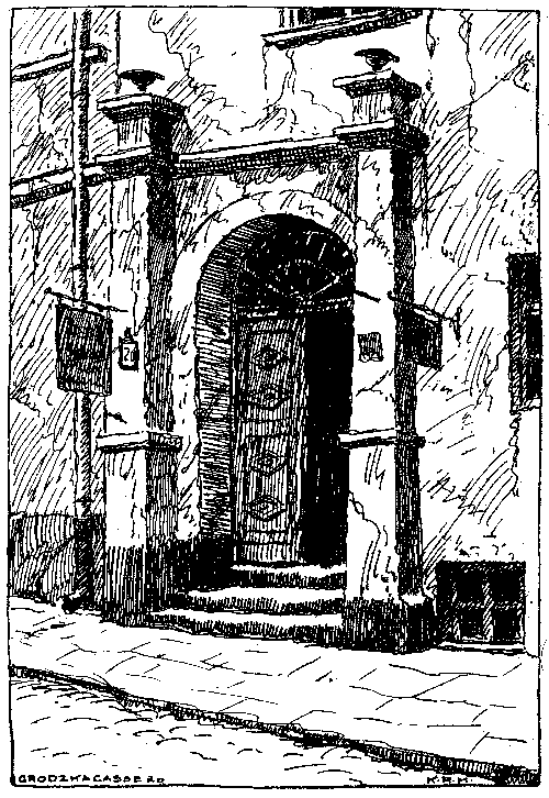
Illustration 11: Door of the house at 20 Grodzka Street
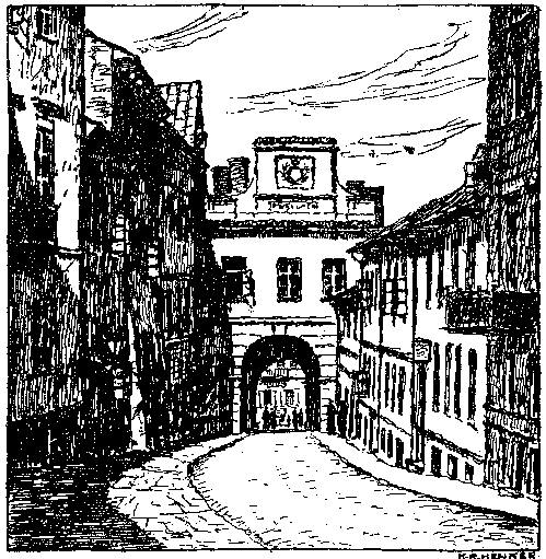
Illustration 12: The Castle or Jewish Gate, seen from Grodzka Street
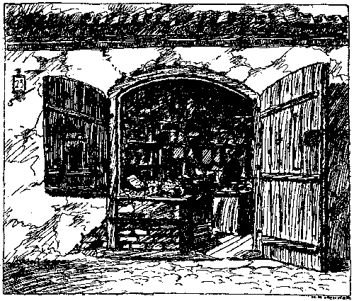
Illustration 13: Shop at the Jewish Gate
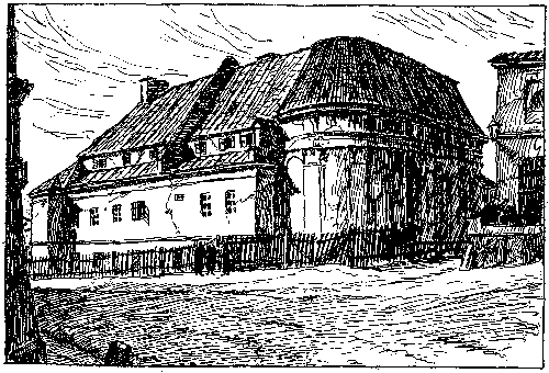
Illustration 14: Former hospital and Adalbert Church, now Jewish poorhouse
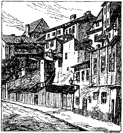
Illustration 15: View from Podwal Street (at Lazar) toward the rear of Grodzka
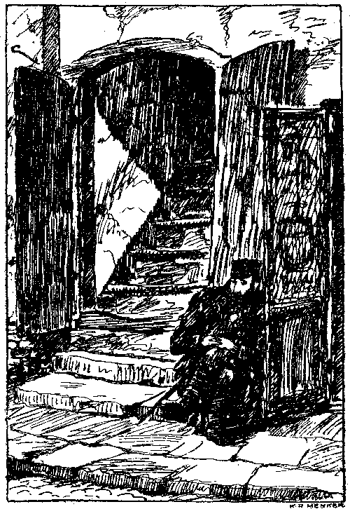
Illustration 16: House at 2 Krawiecka Street
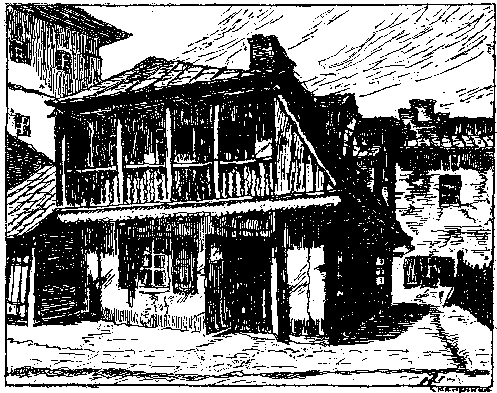
Illustration 17: House at 6 Krawiecka Street
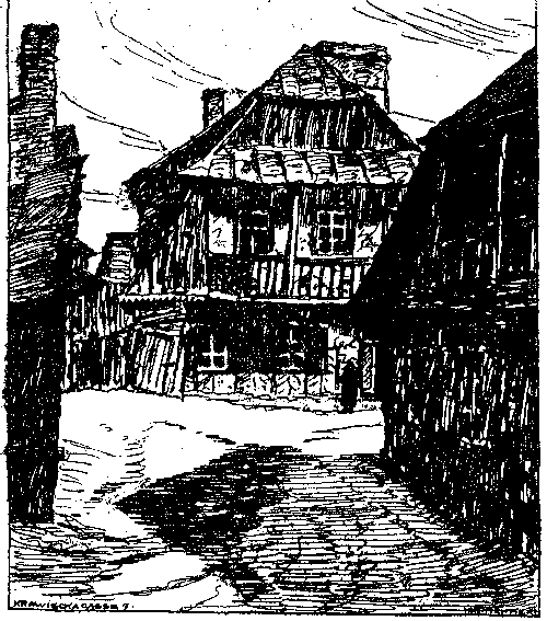
Illustration 18: House at 7 Krawiecka Street
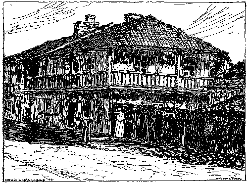
Illustration 19: House at 13 Krawiecka Street
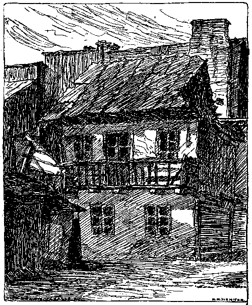
Illustration 20: Courtyard of the house at 27 Krawiecka Street
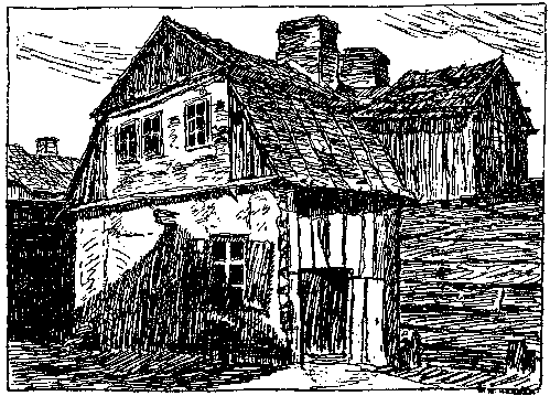
Illustration 21: Courtyard of the house at 27 Krawiecka Street
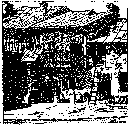
Illustration 22: House at 28 Krawiecka Street
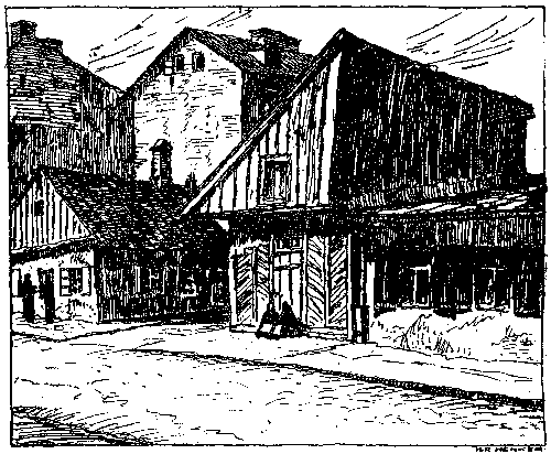
Illustration 23: House at 20 Krawiecka Street
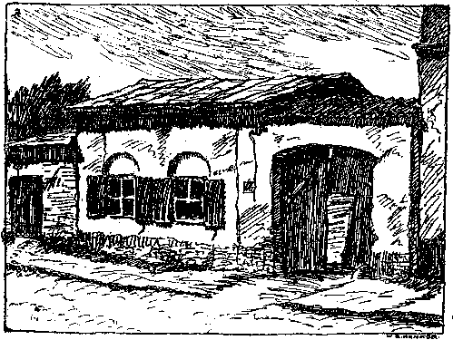
Illustration 24: House at 32 Krawiecka Street
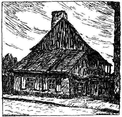
Illustration 25: House at 51 Krawiecka Street
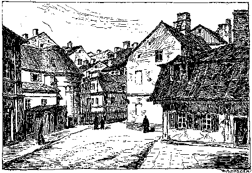
Illustration 26: View from Krawiecka Street to the Jewish Gate
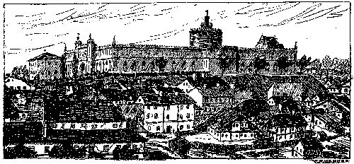
Illustration 27: The castle, with Krawiecka and Podzamcze Streets
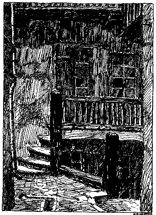
Illustration 28: Courtyard of the Zamkowa house (2 Castle Street)
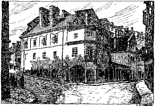
Illustration 29: Shop at 17 Kowalska Street, near the Jewish Gate
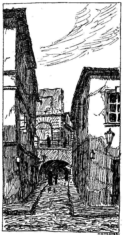
Illustration 30: Castle bridge over Podzamcze Street (view from Szeroka Street)
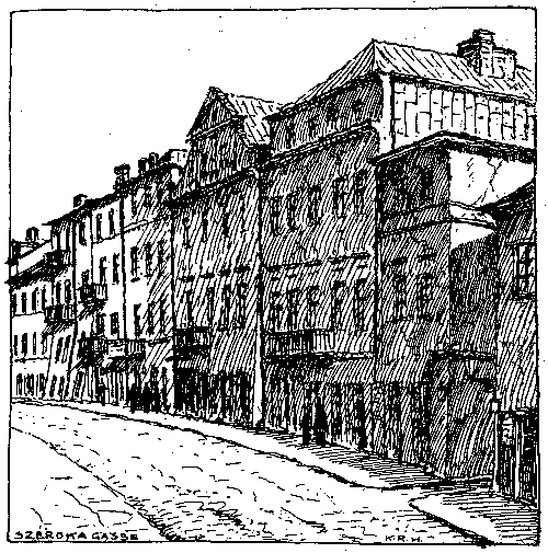
Illustration 31: Szeroka (Broad) Street, numbers 9-19
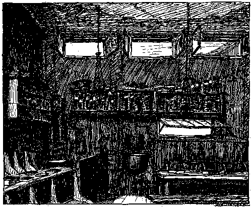
Illustration 32: West wall of the Parnass Shul (44 Szeroka)
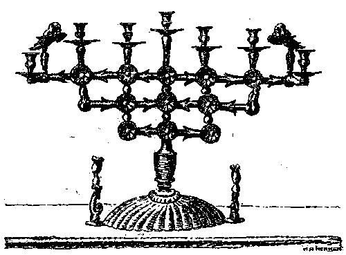
Illustration 33: Menorah from the Parnass Shul
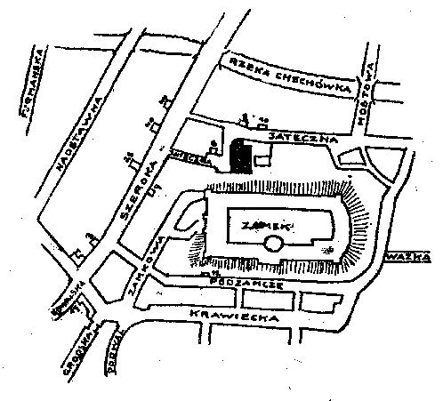
Illustration 34: Map of Jateczna and Szeroka Street
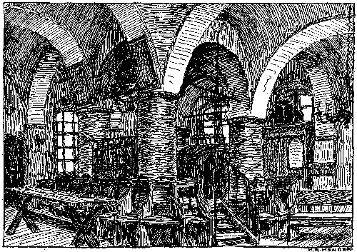
Illustration 35: From the community bethamidrash (6 Jateczna)
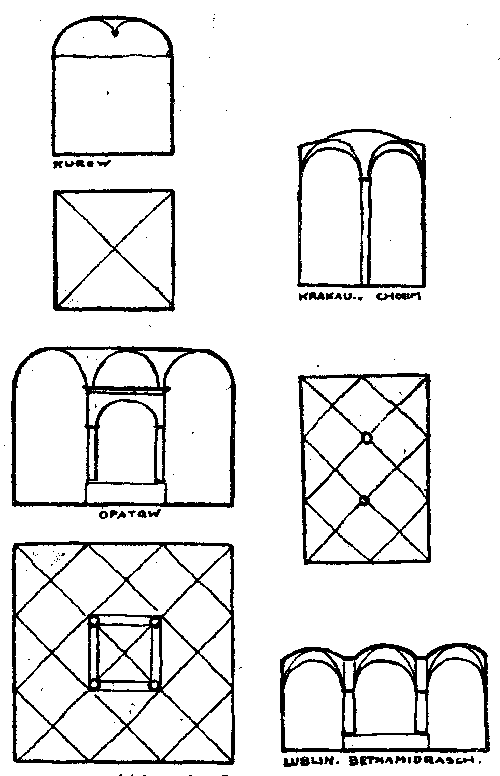
Illustration 36: Types of synagogues (Kurow, Opatow, Cracow, Cholm)
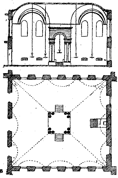
Illustration 37: Floorplan and cross-section of the Maharschal Shul
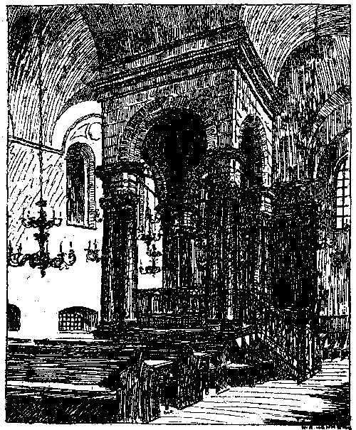
Illustration 38: Interior of the Maharschal Shul, with almemor
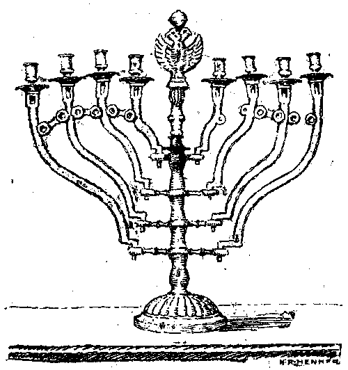
Illustration 39: Menorah from the Maharschal Shul
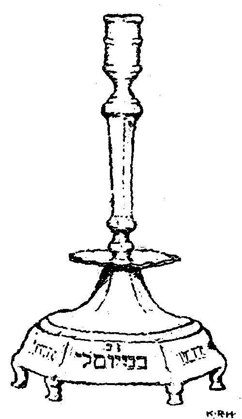
Illustration 40: Synagogue candlestick from the Maharschal Shul
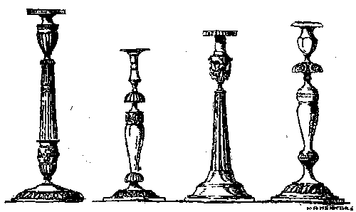
Illustration 41: Silver candlesticks from the Maharschal Shul
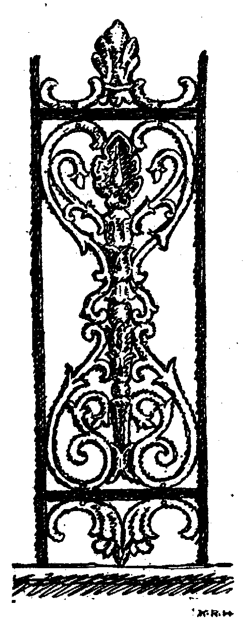
Illustration 42: Bronze latticework from the almemor of the Maharschal Shul
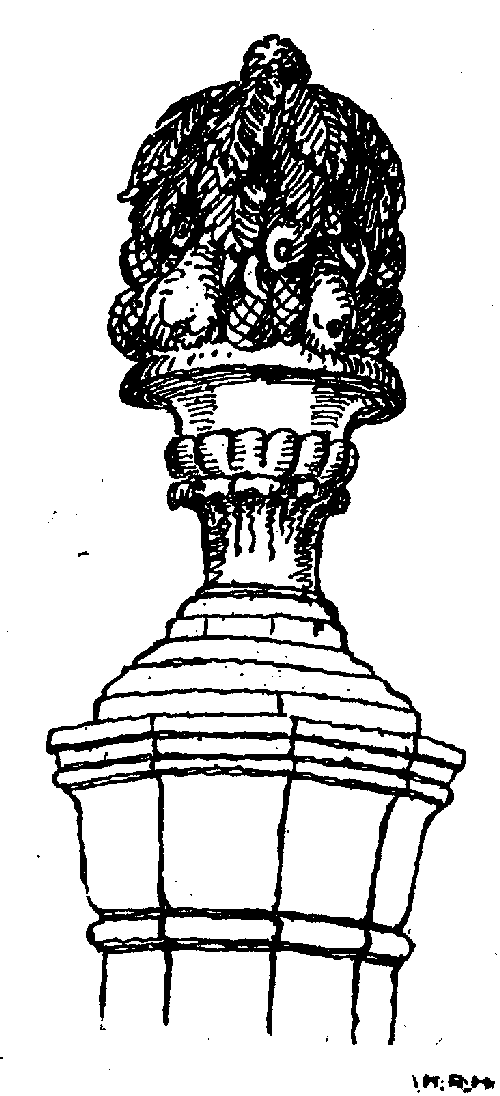
Illustration 43: Top of a post from the almemor of the Maharschal Shul
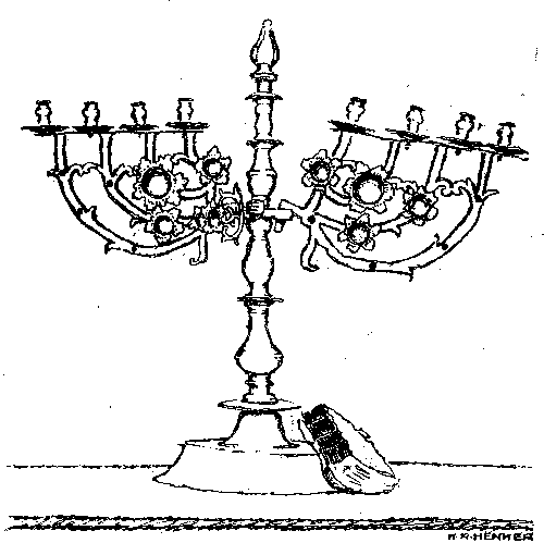
Illustration 44: Menorah from the Maharam Schul
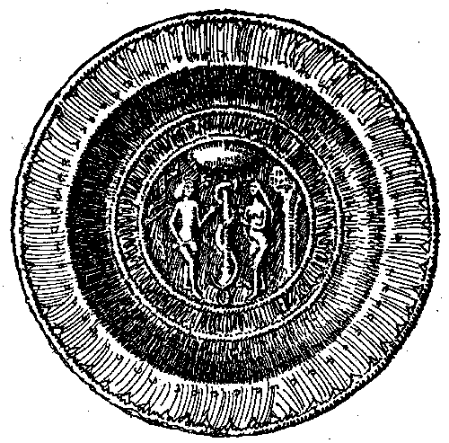
Illustration 45: Embossed brass plate from the Maharam Schul
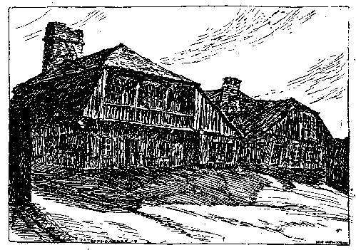
Illustration 46: House at 17 Jateczna Street
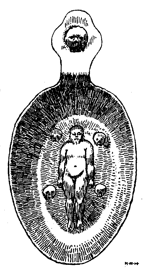
Illustration 47: Silver dipper for washing the dead, from 1707
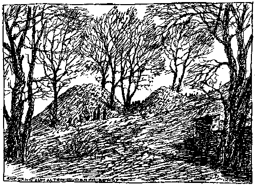
Illustration 48: Path to the old Jewish cemetery
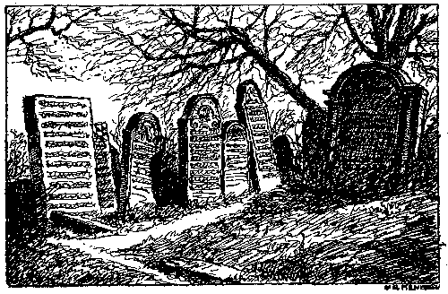
Illustration 49: From the old Jewish cemetery
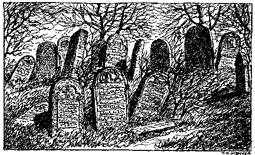
Illustration 50: From the old Jewish cemetery
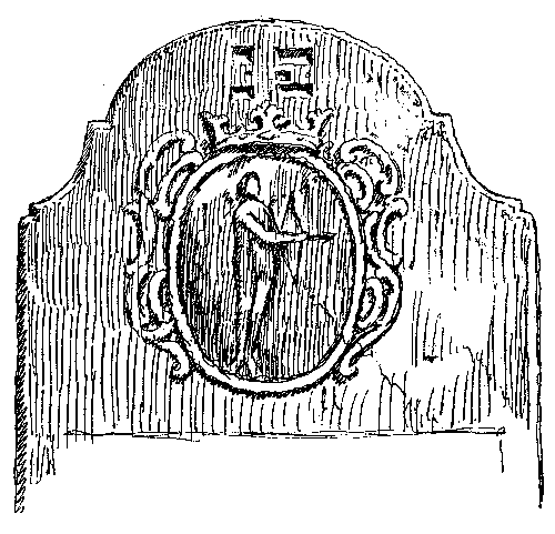
Illustration 51: From the gravestone of Abraham son of Chaim Halperin, last president of the Jewish Assembly, died 15 Chesvan 1762
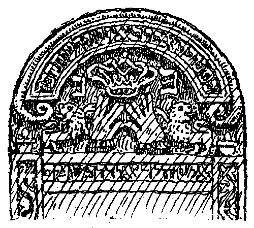
Illustration 52: From the gravestone of a young scholar, died 1 Adar 1824
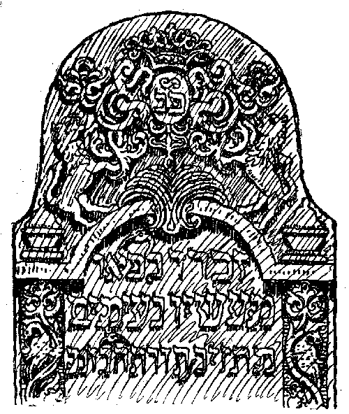
Illustration 53: From the gravestone of the scholar Jekutiel Sallmann, son of Elieser, died 15 Shevat 1810
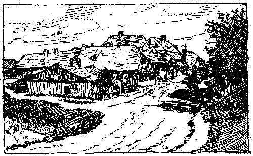
Illustration 54: From lower Czechowka
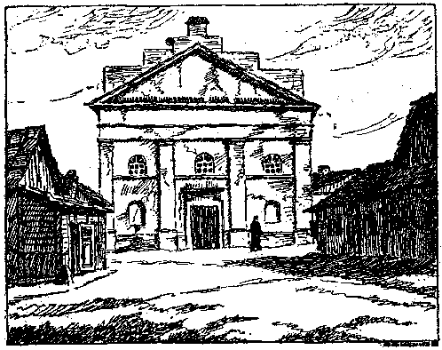
Illustration 55: Old synagogue in Wieniawa
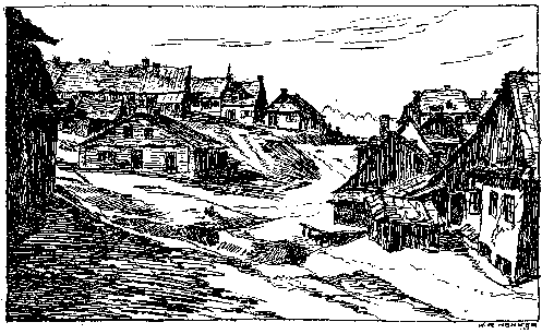
Illustration 56: From Wieniawa
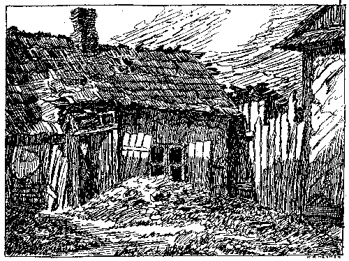
Illustration 57: From Wieniawa
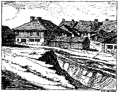
Illustration 58: From Wieniawa
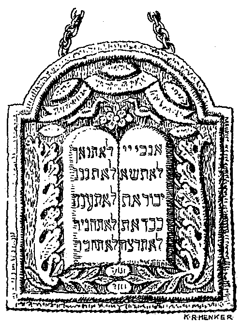
Illustration 59: Torah cover in embossed silver