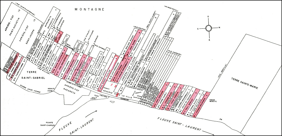
The above map shows the tracts of land granted to settlers in and around Montréal by 1663, with those of our ancestors highlighted. As can be seen, the typical plot was long and narrow, and it consisted of around thirty acres. The settlers’ first task was to clear the land of trees, which was arduous work. A man could typically clear no more than 1.5 acres in a year, so many seasons passed before even half of the land could be planted.
This map and the one below are reproduced from the excellent study by Marcel Trudel,
Montréal, la formation d’une societé, 1642-
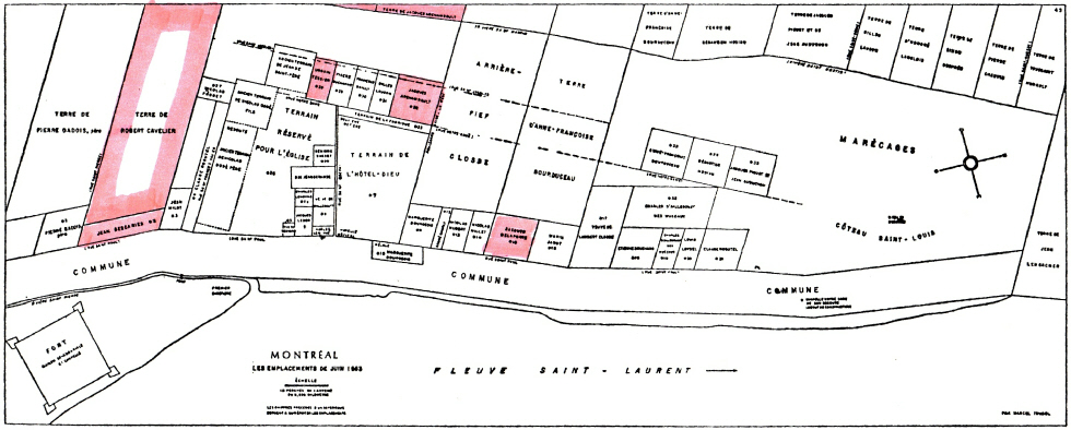
This map presents a detailed segment of the center of the preceding map. It shows the part of Montréal that was then designated as the village proper (“réservé pour la ville”), about one mile in length. The plots granted to our ancestors have been highlighted.